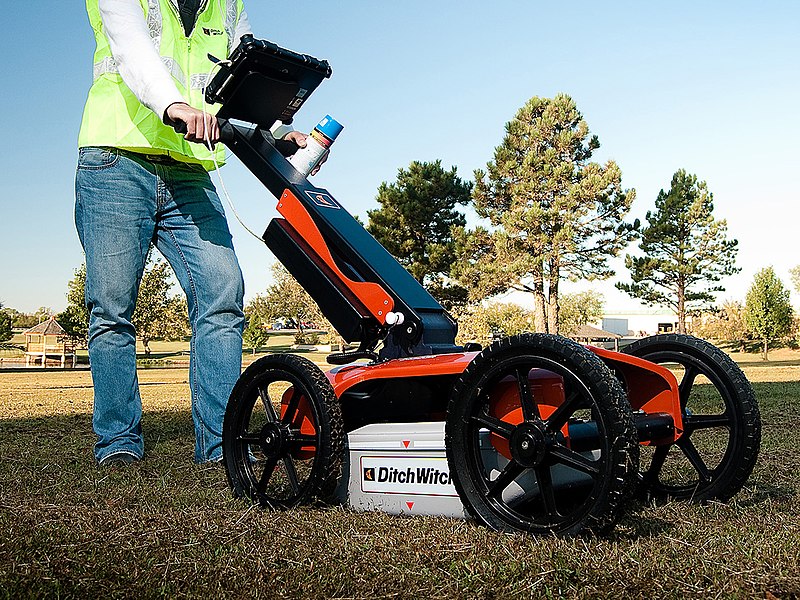
GPR Survey

GPR operates by transmitting short pulses of electromagnetic waves into the ground through an antenna. These waves propagate through the subsurface, where they encounter changes in material properties, such as variations in soil composition, buried objects, or structural interfaces. When the waves encounter these interfaces, they reflect back towards the surface and are detected by the same or another antenna. The time taken for the waves to travel and return provides information about the depth and location of subsurface features. The amplitude and phase of the reflected waves give insights into the material properties of the subsurface.
GPR antennas emit and receive electromagnetic waves. They come in various frequencies (typically ranging from tens of MHz to GHz) to cater to different depths and resolutions.Specialized software is used to process raw GPR data into images or radargrams. This software enhances data interpretation by applying filters, removing noise, and creating depth slices.
