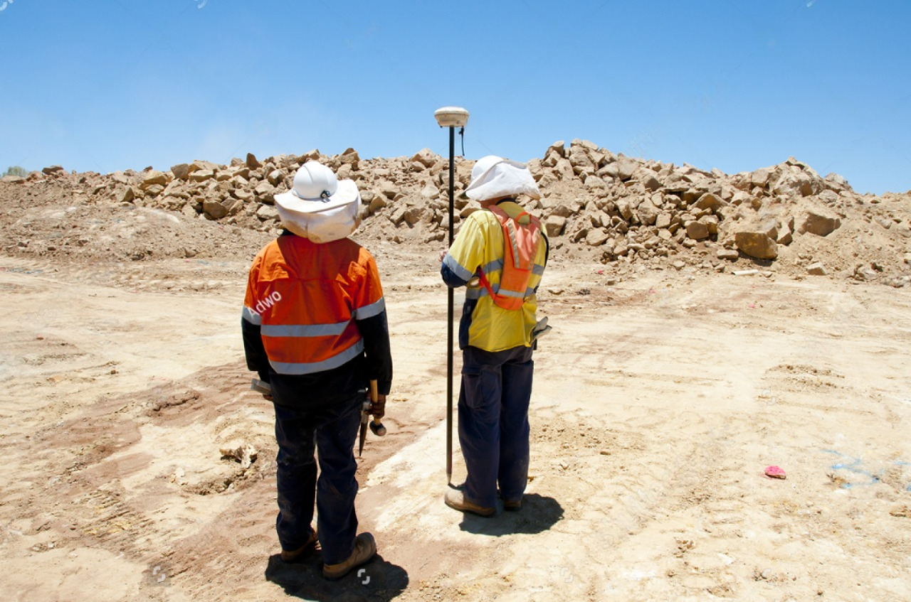
DGPS Survey

DGPS surveys are conducted to improve the positional accuracy obtained from standard GPS systems. While GPS provides location data with an accuracy of several meters, DGPS can improve this to within a few centimeters or even millimeters, depending on the equipment and conditions. DGPS works by comparing the position calculated by a stationary GPS receiver known as a reference station with the position calculated by a roving GPS receiver. The difference between the two positions (the error) is then used to correct the positional data obtained by the roving receiver.DGPS can be implemented in real-time, where corrections are transmitted instantly to the rover station, or in post-processing, where data collected from both stations is analyzed after the survey.DGPS can significantly improve accuracy, reducing errors from meters to centimeters or even millimeters, depending on the setup and environmental conditions.
