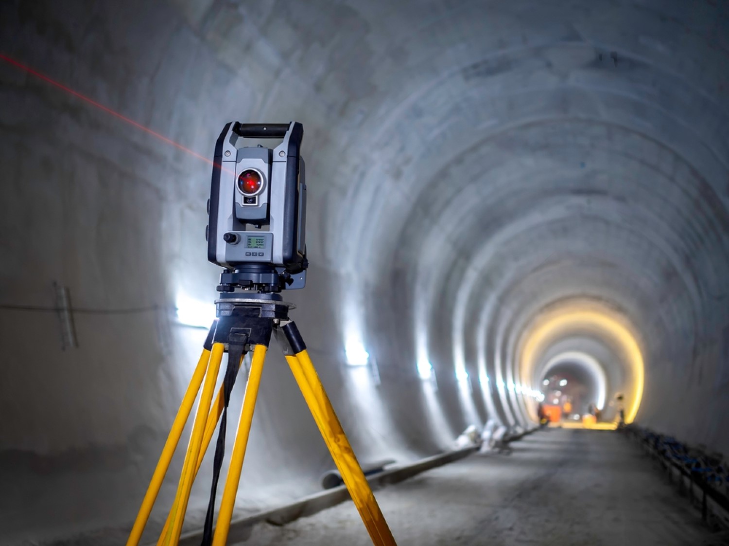
Under Ground Utility Survey

An underground utility survey is a critical process used to locate and map the various buried utilities and infrastructure beneath the ground surface. This survey is essential for construction projects, urban planning, and infrastructure maintenance to prevent damage to existing utilities and ensure safety. The primary purpose of an underground utility survey is to accurately map and identify the location, depth, and type of buried utilities. These utilities include water pipes, sewer lines, gas lines, telecommunications cables, electrical conduits, and more. Knowing the precise locations of these utilities helps avoid accidental damage during excavation activities, reducing risks to workers, the public, and preventing service disruptions. The survey begins with gathering existing utility maps, as-built drawings, and any available historical records. A preliminary site visit may also be conducted to understand the project scope and identify potential risks. Achieving accurate results depends on the quality of existing records, the skill of survey technicians, and the effectiveness of the chosen survey techniques.
